

The Village used the new Instagram mobile app, Hyperlapse, to capture the pedestrian zones of Moscow. The following was originally published in Russian. It was translated by SRAS Translation Abroad Scholar Sophia Rehm.
At the end of August, new pedestrian zones opened in Moscow on Maroseyka, Petrovka and Pyatnitskaya Streets, and in September city hall announced the completion of Europe’s longest pedestrian route, stretching from the Kiyevsky Railway Station to Gagarin Square. The Village created a virtual tour of all the renovated streets, using Instagram’s new app, Hyperlapse. Hyperlapse makes it possible to make time-lapse videos to capture gradual changes with accelerated photography.
The Village also included routes opened in the past year, and took a walk along Old Arbat Street, which became the first pedestrian street in Moscow almost three decades ago.
Old Arbat Street
Length: .7 miles
Number of Traffic Lights: 0
Stoleshnikov Lane
Length: .9 miles
Number of Traffic Lights: 0
Maroseyka Street and Pokrovka Street
Length: 1.1 miles
Number of traffic lights: 4
Kamergersky Lane and Kuznetsky Most
Length: .5 miles
Number of Traffic Lights: 2
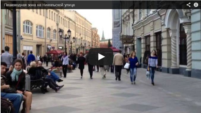
Nikolskaya Street
Length: .4 miles
Number of Traffic Lights: 0
Krymskaya Embankment
Length: .6 miles
Number of Traffic Lights: 0
Pedestrian Zone from Kiyevsky Railway Station to Gagarin Square
Length: 4 miles
Number of Traffic Lights: 5
Pyatnitskaya Street
Length: 1.1 miles
Number of traffic lights: 0
Bolshaya Dmitrovka Street
Length: .6 miles
Number of Traffic Lights: 0
Note: Hyperlapse cannot record more than 45 minutes of video, so the final part of the route from Kiyevsky Railway Station to Gagarin Square was omitted. However, this section is just a regular sidewalk along Leninsky Prospekt.